Craig-Moffat County Airport
Airport Information
The Craig-Moffat County Airport is a general aviation airport (not a commercial aviation airport) located at 3005 Highway 394, approximately 4.5 miles southeast of Craig, Colorado, at an elevation of 6,199 feet above Mean Sea Level (MSL). The airport reference point coordinates are latitude 40° - 29' - 43" N and longitude 107° - 31' - 15" W. The present airport site encompasses approximately 373 acres located within Sections 6,7, and 8, Township 6 north, Range 90 West of the Sixth Principal Meridian.
Existing aeronautical facilities of the Craig-Moffat County Airport include one primary runway oriented 7/25 (northeast/southwest). Runway 7/25 is paved with asphalt and is 5,606 feet long by 100 feet wide. The pavement section is rated at 35,000 pounds for aircraft with single wheel gear (SWG) and 40,000 pounds for aircraft with dual wheel gear (DWG). Two access taxiways connect Runway 7/25 to the aircraft-parking apron and building area. There are two turnaround taxiways on each runway end. The aircraft-parking apron consists of approximately 19,000 square yards of asphalt pavement. There are approximately 60 tie down anchors installed in the apron. Tie Down Fees will apply.
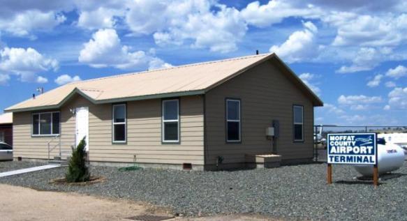
Free wireless internet is available inside the terminal.
Craig-Moffat County Airport Brochure
Hours of Operation
The airport is open year-round. Complete re-fueling facilities and courtesy cars are available. For more information contact Mountain Air Spray at (970) 824-6335.
Click here to access the Craig-Moffat County Airport live weather webcam ( best viewed with Google Chrome)
Candace Miller - Airport Manager
3005 Hwy 394
Phone: (970) 824-9148
Email
Public Notice: 2024-2026 DBE Program